Logibook turns the world's logistics infrastructure into one navigable, source-backed reference — every port, airport, hub, free zone and airline profiled, mapped, cross-linked and published in 25 languages. Not a scraped directory: a curated atlas where every figure traces back to an official publisher.
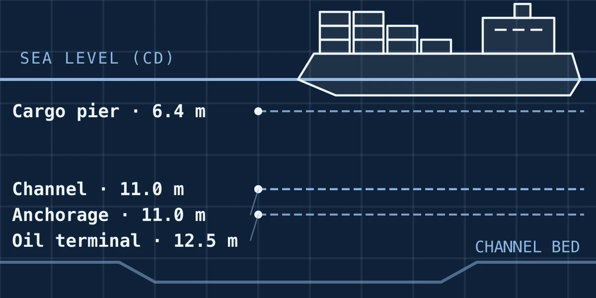
Berth & channel profiles
Every major port carries its real World Port Index soundings as a labelled depth cross-section — channel, anchorage, cargo pier and oil terminal — drawn as an engineering plate rather than buried in a paragraph.
Port of Rotterdam →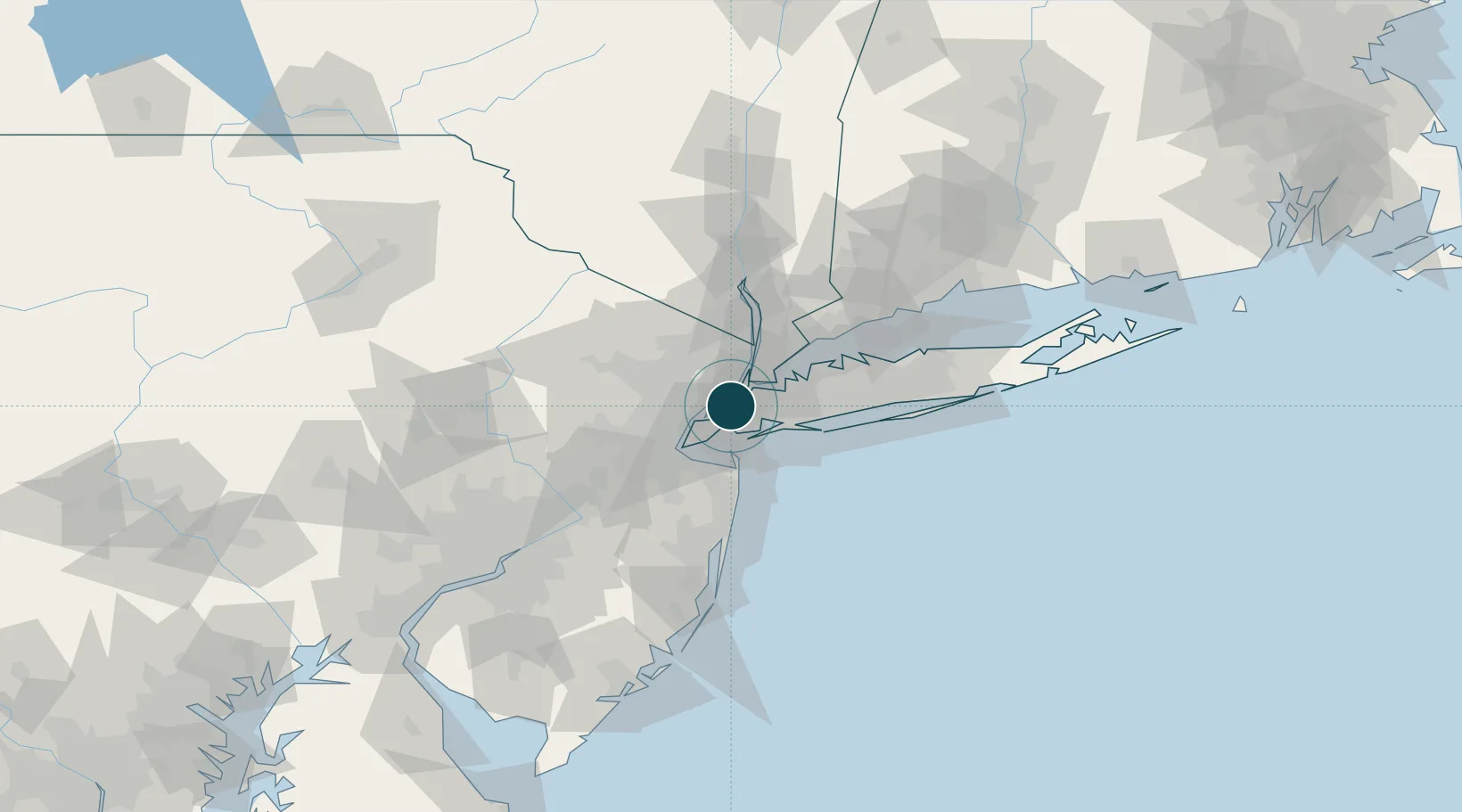
Precise, source-backed maps
Each entity is framed on a Natural Earth basemap — coastline, rivers, urban footprint and the administrative region it sits in — with sea and land clearly distinguished. No tiles, no third-party map keys: vector geometry rendered from public-domain data.
New York Harbor →
Airport layouts & aviation data
Airports carry a scaled runway-and-taxiway plate plus runway dimensions, surface, radio frequencies and navaids — and the route network of every carrier that serves them.
Birmingham Airport →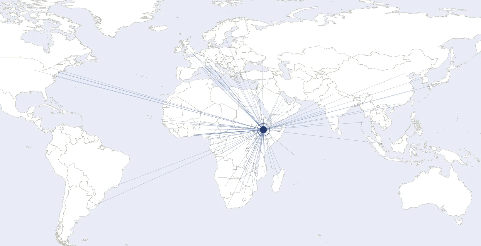
Airline route networks
Each airline is mapped as a hub-and-spoke network across a world basemap, every served airport clickable, with a country-by-country breakdown of where it flies.
Ethiopian Airlines network →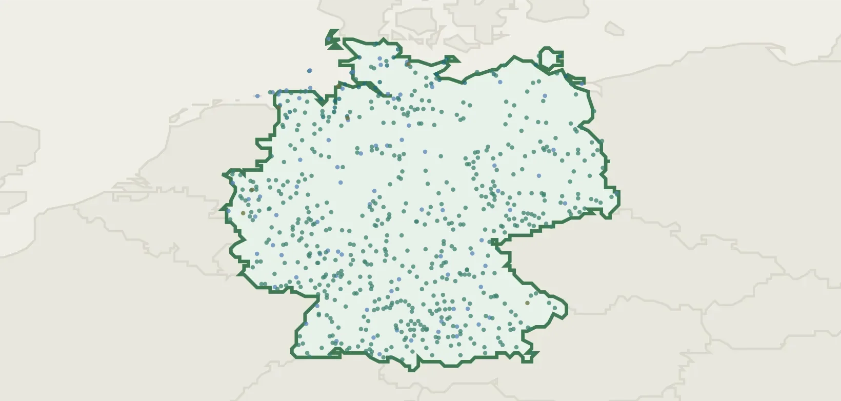
Country logistics infrastructure
Every country rolls up into a logistics profile — rail and road density, ports, airports and trade corridors — tying the individual entities back to the national picture.
Germany infrastructure →Where the data comes from
Logibook consolidates official, openly-licensed publishers — the NGA World Port Index, OurAirports, OpenFlights and OpenTravelData, GeoNames, Natural Earth, the GRIP4 global road network and the World Bank — with per-source attribution on every page. Where sources overlap they are reconciled, not blindly merged. No fact is AI-generated: if a figure cannot be traced to a source, it is not published.
Our Network
DataInt is part of a growing ecosystem of data and technology ventures.
 Subiconsubicon.net
Data systems orchestration and cybersecurity consultancy active since 1999.
 Epistemeepisteme.fyi
Emerging-technologies and artificial-intelligence firm founded in 2025.
 DataInt
dataint.net
In development
DataInt
dataint.net
In development
Core DaaS platform for acquisition, verification, and technical delivery.
 Logibook
logibook.dataint.net
Live
Logibook
logibook.dataint.net
Live
Trade and logistics reference atlas built on the harmonized warehouse.
 Databook
databook.dataint.net
Live
Databook
databook.dataint.net
Live
Curated multi-lingual portal exposing harmonized warehouse references.